
Mecklenburg Neighbor Block Record Routes
Public sources can describe the land around an address, but they do not create a complete household roster. POLARIS is the county GIS viewer for a property’s parcel, owner, mailing address, situs address, legal description, land area, municipality, and overlays. The tax and property route can help confirm a parcel field. The Charlotte Neighborhood Organization Directory identifies civic groups that choose to list their public contact and self-defined area. A voter search is an individual civic lookup, not a block roster. Recorded deeds can provide a dated party role, not a current occupancy claim.
| Block source | What it can show | Responsible access |
|---|---|---|
| POLARIS | Parcel shape, owner, mailing and situs fields, legal description, map layers | Public GIS viewer; date the result and read field labels |
| Mecklenburg property search | County property and value context for a known parcel | Use as a parcel record, not an occupancy roster |
| Neighborhood Organization Directory | Public organization name, self-described boundary, website, and contact route | Search by keyword or Council District; not membership evidence |
| North Carolina Voter Search | Individual voter status and jurisdiction context, when a civic question fits | Use the limited official form and respect protected addresses |
| Recorded land instruments | Grantor, grantee, instrument, and date connected to a parcel | Use Register of Deeds records for a dated land role |
Owner, resident, contact, and member are not interchangeable labels. A property may have a different mailing and situs address, and a listed neighborhood group may have a boundary that does not include every nearby parcel. Save the source, record date, access date, and field name before using any result. That is the difference between a useful block-level fact and an assumption about who lives nearby.
Mecklenburg Neighbor Boundary Layers
A parcel line, ZIP code, voting district, historic district, and neighborhood-organization area are separate maps. POLARIS layers can show current parcel and planning context. USPS validates a delivery address and ZIP. The Board of Elections supplies the authoritative answer for an election record or polling-place question. The city’s neighborhood directory reflects self-described civic areas. None should be used as a substitute for the others, and one boundary does not establish where a person lives or whether they belong to a group.
This distinction matters most on edges. Mecklenburg ZIPs can cross municipal or county lines, and a neighborhood organization can define an area differently from a tax parcel or council district. For a geographic question, compare the map layer with the purpose of the record. For a land question, rely on the parcel, deed, or plat. For a community-history question, use the organization’s public contact route and ask for a dated newsletter, subdivision document, or other existing record.
Boundary tip. Keep the map type in the note: parcel, postal, precinct, district, historic designation, or self-defined neighborhood. It prevents a map label from becoming a claim about membership.
Mecklenburg Neighbor Civic Groups
Charlotte’s Neighborhood Organization Directory is the public civic layer for associations, homeowner groups, and coalitions. It can be browsed alphabetically, searched by phrase or keyword, and filtered by city council Districts 1 through 7. The directory displays the organization’s own public details, including a primary contact route, self-defined boundaries, website, and social links. It is useful for reaching a group that may hold newsletters, oral history, old street names, or subdivision material. It is not a directory of everyone who lives in the area.
Amity Gardens NA
Listed by the city directory as a neighborhood-association example. Use the current directory entry for its public boundary and contact route.
Brighton HOA
One of the homeowner-association examples visible in the city directory. A directory listing does not establish a parcel owner’s membership.
Dilworth Community Association
A current-directory example for civic engagement and local-history leads. Confirm dates and source records with the organization.
The Charlotte Neighborhood Organization Directory provides the human-readable public route for those civic listings.
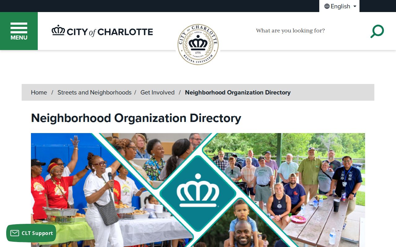
Use the organization name and an access date when contacting a group, since directory information and public contacts can change.
The city Neighborhood Organization Contact List layer is the map-oriented companion to the directory.
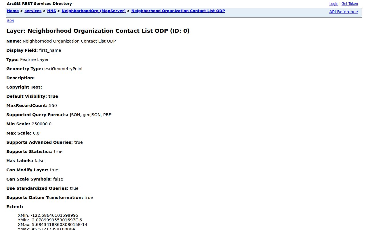
The service exposes organization and contact fields and has a maximum-record setting of 550, but the directory page is the clearer current source for public-facing entries.
Parcel Details for a Mecklenburg Neighbor
POLARIS separates a postal address, a situs address, and an owner mailing address. That three-address distinction is an important accuracy check. The situs address is the property’s location. A mailing address is where correspondence is sent. A postal address supports delivery. An owner can have a mailing address that is not the property location, so the record should be described by its actual field name. The GIS viewer also exposes overlays such as zoning, floodplain, and historic districts, which provide land-use context rather than evidence about households.
The Mecklenburg GIS Land Records Management page identifies the county function behind parcel ownership and boundary work.
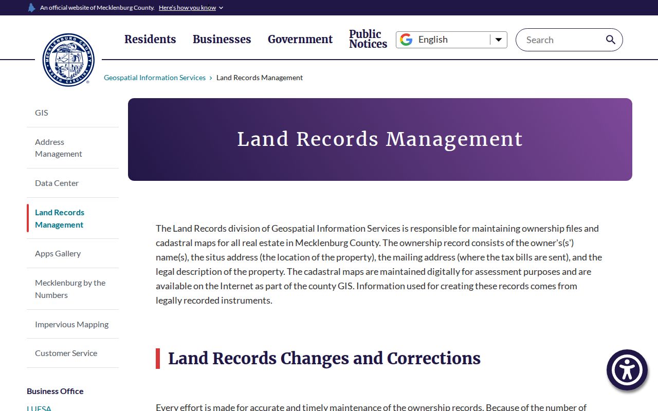
For a boundary or ownership correction, ask GIS about the existing field or correction process instead of asking staff to certify who resides at the property.
The county GIS contact page provides the official correction route for address assignment, mailing address, parcel ownership or boundary questions, and GIS data.
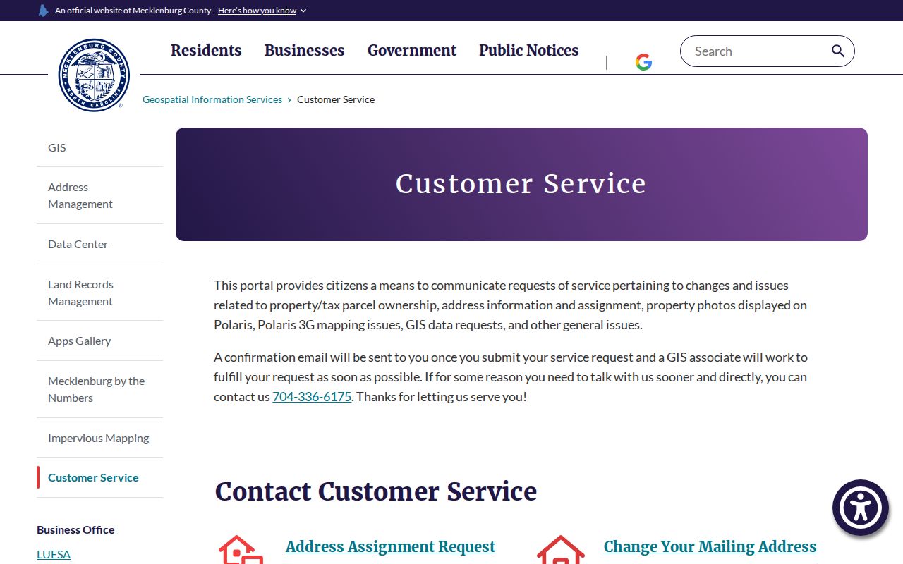
Records can lag a transaction or correction. Retain the access date and seek the Register of Deeds document when the question is about a legal land instrument.
Map a Mecklenburg Neighboring Block
Begin with one validated street address in POLARIS and keep the search within the immediately surrounding parcels. The goal is to understand the land record and civic geography around a block, not to create a personal profile of people nearby. Each map click should be noted with the parcel ID, field label, and date. If a parcel has a legal-description question or an older title trail, move to the deed record rather than treating the map image as legal evidence.
- Enter the street address, parcel number, owner, or landmark in POLARIS and select the correct property using its situs field and parcel ID.
- Use the adjoining parcel shapes to identify nearby land records. Note the parcel boundary and owner field separately from any mailing or postal address.
- Check the relevant map overlay for civic or planning context, then compare a public neighborhood listing only for its stated organization boundary.
- For a dated owner role or legal change, search the deed index by the party, instrument, or date and request an official copy if needed.
The Mecklenburg Register of Deeds is the custodian route for recorded land instruments.
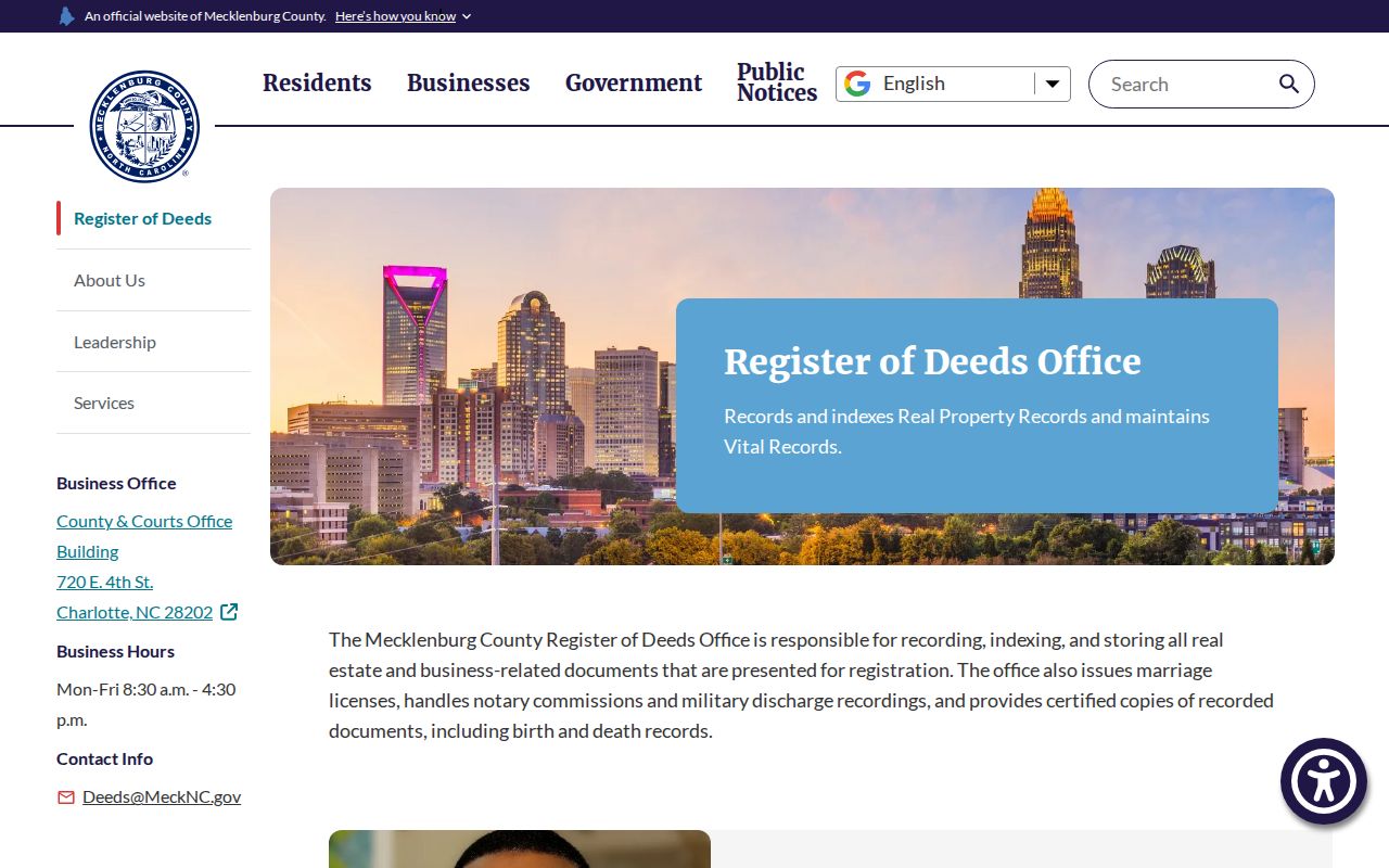
For a full named-street record chain, the Mecklenburg street directory follows address-keyed sources without treating the immediate-block workflow as a complete street study.
Mecklenburg Neighbor Tools Compared
Official records and commercial neighbor tools serve different purposes. A county parcel viewer identifies the fields a public agency maintains for land administration. A city organization directory provides a public civic contact path. A commercial directory product may combine material from many sources, but it can obscure the source date, field meaning, and correction route. For a record claim, use the source closest to the actual custodian and preserve the date shown by that source.
| Source type | Useful for | Key limit |
|---|---|---|
| Official parcel or deed record | Dated land field, instrument, boundary, or owner role | Owner and mailing fields do not prove occupancy |
| Official civic directory | Organization contact, stated boundary, and community-history lead | Listed boundary is self-defined and does not prove membership |
| Commercial neighbor product | A lead to be checked with the custodian | Dates, source logic, and correction process may be unclear |
That comparison also guards against a common mistake: a public organization contact is not permission to copy volunteer details into a personal directory. Use the organization’s own public route and request only the record that fits the question.
Privacy Rules for Mecklenburg Neighbor Research
North Carolina’s public-record rules are not a license to reconstruct private details. Protected voter addresses, Address Confidentiality Program substitute addresses, restricted court files, vital-record information, signatures, full dates of birth, and personal identifiers in deed images have separate safeguards. If an agency withholds a field, use the limitation as the answer. Do not triangulate the omitted information through property, civic, or historical sources.
The North Carolina public-record inspection law describes access to existing public records at reasonable times, subject to statutory exceptions. It does not require an agency to create a new compilation or infer household relationships. The most careful neighborhood research uses only the smallest useful public detail and links back to the custodian.
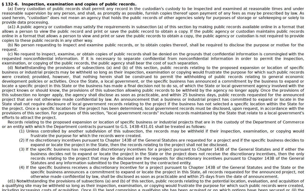
A request should identify an existing parcel, instrument, date range, project, or file series. It should not ask staff to determine who belongs to a block or group.
Lawful use. Use Mecklenburg neighbor research for a narrow, lawful community or historical purpose. Do not use parcel, civic, or organization records to stalk, harass, intimidate, or harm anyone.
Request Mecklenburg Neighbor Records Carefully
When an online tool does not show an existing public record, address the request to the office that keeps it. For a deed or plat, include a known grantor, grantee, address, date range, book and page, or instrument number. For a parcel field, identify the parcel ID and the displayed field needed. For a city record, use the city public-record route and state the date range and subject. Specific requests are easier to route and avoid asking an agency to create a new block compilation.
Keep the request, source URL, response, access date, fee estimate, and any redaction explanation. If a record is missing, note the custodian and search scope instead of filling the gap with a broader personal claim. A Mecklenburg block is best understood through dated public records and public community contacts, with each source kept in its proper place.