
Find Mecklenburg Street Addresses
Address research works best as a chain, not as a list of names. Start with a complete street number, street suffix, city, state, and ZIP. USPS supplies the delivery form. Mecklenburg GIS then supplies local geography, including a situs address, jurisdiction, road-centerline context, and a parcel when one is available. A situs address means the physical location of the property. It is different from a postal label or the mailing address where an owner receives a tax bill.
- Confirm the exact delivery address with the USPS ZIP Code Lookup, including an apartment or suite when it is known.
- Enter the address in POLARIS using Main Search or Situs Address Search. Save the parcel ID, GIS ID, situs, municipality, and map date.
- Use the parcel reference to narrow a recorded-instrument search. Check the modern Register of Deeds index for March 1990 forward and the historic index for earlier material.
- For a dated household question, compare an edition of a city directory or another residence-oriented record. A deed or tax card alone does not prove who lived there.
- Use a permit or project search only to document changes to a structure, plat, or subdivision. It does not establish occupancy.
Each step corrects a common error. A ZIP match does not confirm a person at an address, and a map point is not a certified legal description. The useful result is a dated record trail that separates the place, the parcel, the legal instrument, and any evidence about a household.
See the modern Mecklenburg Register of Deeds index before using its party and document routes.
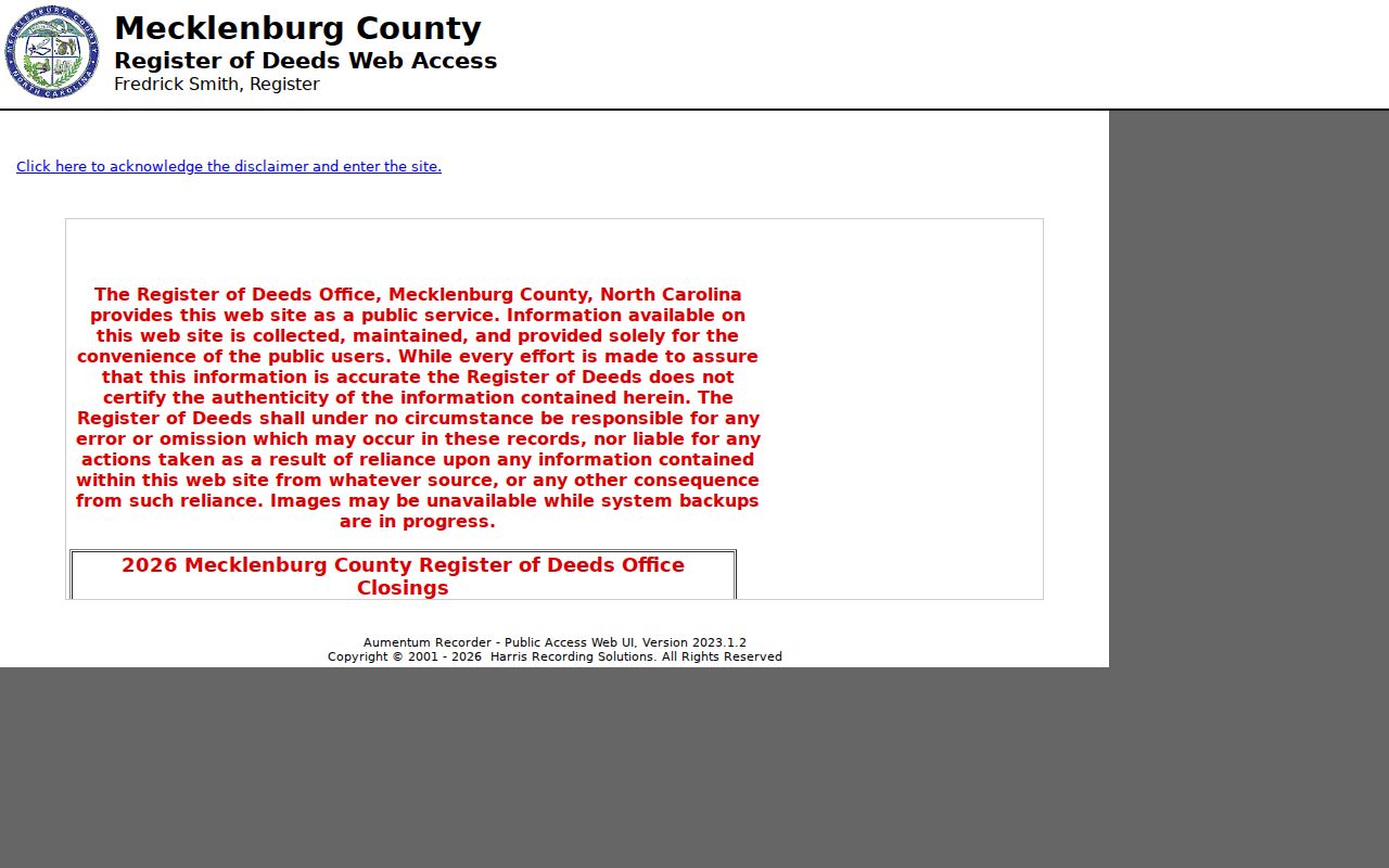
The modern index is a convenience route for land records from March 1990 to the present. It is not a certified-copy service, and a search may need the historic route for earlier instruments.
Note: Record the exact spelling, address form, portal URL, and access date before comparing results from separate offices.
Mecklenburg Street Directory Geography
A road in Mecklenburg County can pass through more than one system at once. Charlotte is the county seat, but the county also includes Cornelius, Davidson, Huntersville, Matthews, Mint Hill, and Pineville. Postal city, incorporated municipality, county jurisdiction, extra-territorial jurisdiction, fire district, ZIP, and a neighborhood association boundary are separate fields. Treating them as one label can send a search to the wrong office or make an address look more certain than it is.
The Mecklenburg GeoPortal is useful when a street search needs a map or data layer. Its dynamic search hint asks for at least four characters, and the county says its map data is not legal evidence. Check the map against a recorded deed or plat when a boundary or legal description matters. Use map overlays for context, such as zoning, historic districts, floodplain, schools, voting geography, or parks, rather than as identity evidence.
Open the county GeoPortal to search an address or place and reach its map and data tools.
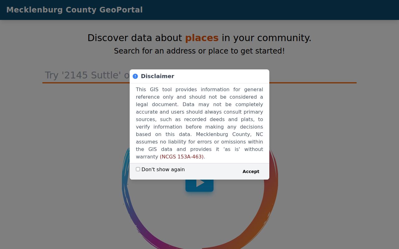
GeoPortal helps place a road and compare public layers, but the county directs users to recorded deeds and plats for legal verification.
For the source of address fields, use Mecklenburg GIS Address Management.
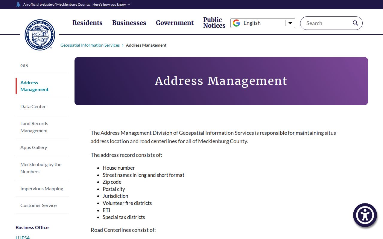
Address Management maintains street and situs context, including road names, ranges, postal city, ZIP, jurisdiction, fire district, ETJ, and special-tax-district values. Those fields explain why two official labels may differ without making either one a neighborhood name.
Mecklenburg Street Directory Records
Address-keyed sources have different levels of proof. The tax site and POLARIS describe a parcel. Recorded deeds and plats describe a legal transaction or subdivision. A historic directory records what its publisher printed in one edition. Permit systems describe a project or application. Keep the source role in the wording. Say that a parcel card shows an owner and mailing address, or that a 1980 directory lists an address. Neither statement should be stretched into a claim of current residence.
| Address-keyed source | Mecklenburg custodian | Useful fields | Responsible use |
|---|---|---|---|
| POLARIS property card | County GIS | Parcel ID, GIS ID, situs, owner, mailing, legal description | Parcel and ownership context, subject to update lag |
| Modern and historic deeds | Register of Deeds | Parties, date, instrument or book/page, legal description, plat | Recorded interest and title research |
| Street and address layer | GIS Address Management | Road names, ranges, ZIP, postal city, jurisdiction | Address normalization and geography |
| Permit or project file | MeckPermit or Charlotte Accela | Address, parcel, project type, date, plans or certificates | Physical-change context, not occupancy |
| Historic directory | Carolina Room collection | Edition, page, name, residence or business address | Dated household or street context |
The Register of Deeds real-estate records page separates the two land-record clocks: historic records and images run from 1763 through February 1990, while modern online land records begin in March 1990. That cutoff matters when a street history reaches back across the changeover. Inspect records in the ROD vault during its posted weekday public-inspection hours when the convenience portal cannot supply the needed image or certified copy.
Use the Register of Deeds’ real-estate records information for the office’s official coverage and copy route.
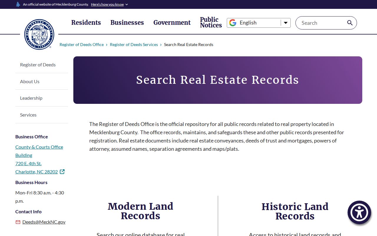
The office’s real-estate page is the right starting point when an address may require the historic rather than modern deed index.
- Parcel
- A county land unit identified by a parcel or GIS ID. It helps locate records but is not proof of who occupies a home.
- Situs address
- The physical property location used by GIS. It can differ from an owner’s mailing address and a USPS mailing label.
- Plat
- A recorded map showing a subdivision, lot layout, or boundary. Check its book and page with the Register of Deeds.
- Criss-cross directory
- An address-oriented directory arrangement, if available for an edition, that can be checked against a name-oriented listing.
Mecklenburg Street Directory Parcel Tools
POLARIS accepts an address, parcel number, owner, or landmark in its visible search prompt. Main Search is useful when the researcher already has an identifier or owner string. Situs Address Search is the map-first route when the physical street comes first. After selecting a parcel, save the parcel ID and GIS ID, then note the postal address, one or more situs addresses, legal description, land area, municipality, fire district, special district, and land-use field that the detail view supplies.
| POLARIS field or tool | Input or format | What it supports |
|---|---|---|
| Main Search | Address, parcel number, owner, or landmark | Starting a parcel-oriented search |
| Situs Address Search | Physical street address | Locating the mapped property position |
| Identify and Measure | Map tools | Comparing layers and parcels, with a dated map |
| Overlays and Legend | Map layers | Geographic context such as zoning or historic district |
| Print and Markup | Map-output tools | Preserving a research view, not creating legal evidence |
The property-tax landing page is also available through the Mecklenburg property-tax search. Research did not capture a stable public inventory of that portal’s owner-search fields or result columns, so do not assume a ZIP, wildcard, or owner-name filter exists there. POLARIS is the documented county route with a visible owner-capable prompt.
Mecklenburg Street Directory History
Older street work needs a dated, side-by-side comparison. Preserve the address as printed in a historic directory, then compare it with the deed legal description, a plat or Sanborn intersection, the modern USPS form, and the current GIS parcel. Mecklenburg research did not locate a complete official crosswalk for historic street numbers. A modern-to-historic match should be labeled documented when a source proves it, or inferred when it rests on a sequence of clues.
Charlotte City Directory coverage is documented from 1897 through 1989, although the availability of a particular address, street, or criss-cross edition must be confirmed with the Carolina Room. The Library of Congress guide advises specifying whether the request is for a street-address, criss-cross, telephone, or business directory. That makes a library request more useful than a broad request for everyone on a road. A deed, plat, or consecutive editions can also preserve an earlier street spelling without silently converting it to today’s name.
Note: A directory entry reports what that edition printed for its stated year, not a complete census or proof of title.
Mecklenburg Street Directory Permit Context
Permit records add a building-history layer. County MeckPermit can be searched by street number, street name, city, or parcel number. Charlotte’s Accela search has documented fields for project number, type, project name, submitted-date range, parcel number, street number range, direction, street name and type, city, state, and ZIP. Its project routes include land development, enforcement, and CMCSI. These records can show a subdivision, plan, certificate, application, or physical work, but an applicant is not necessarily an occupant.
Open the MeckPermit address search when a specific parcel or road needs permit context.
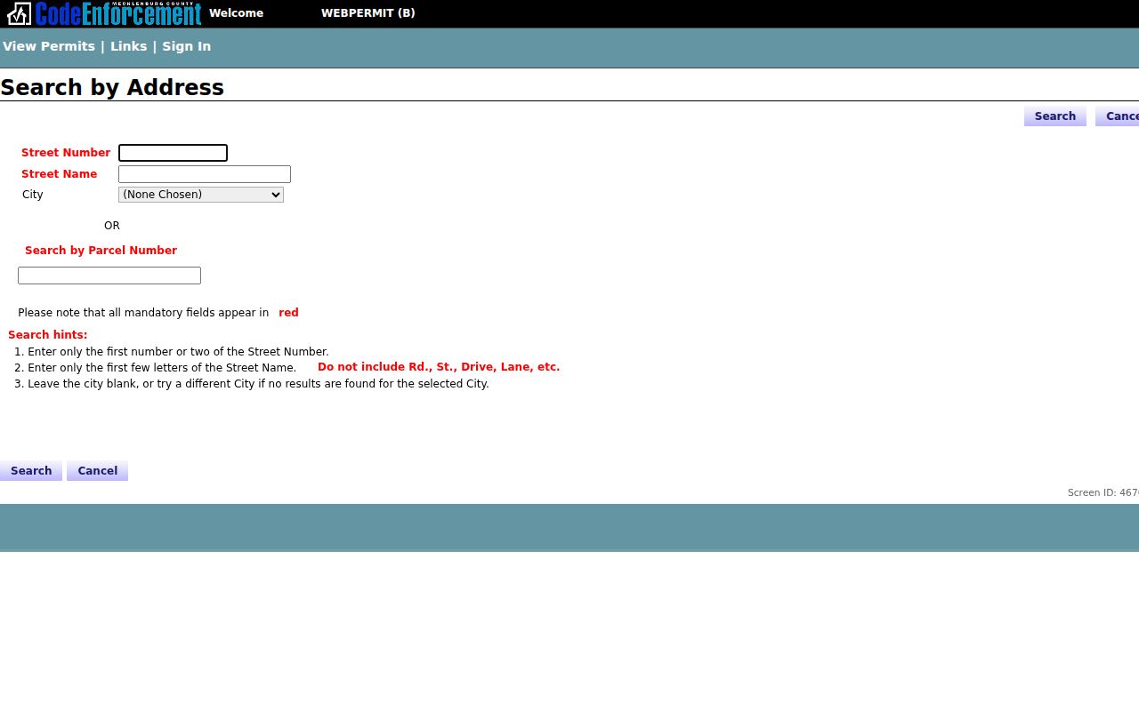
MeckPermit’s address-oriented route is useful for locating existing permit material tied to a place and date range.
Charlotte projects can also be checked through Charlotte Accela Citizen Access.
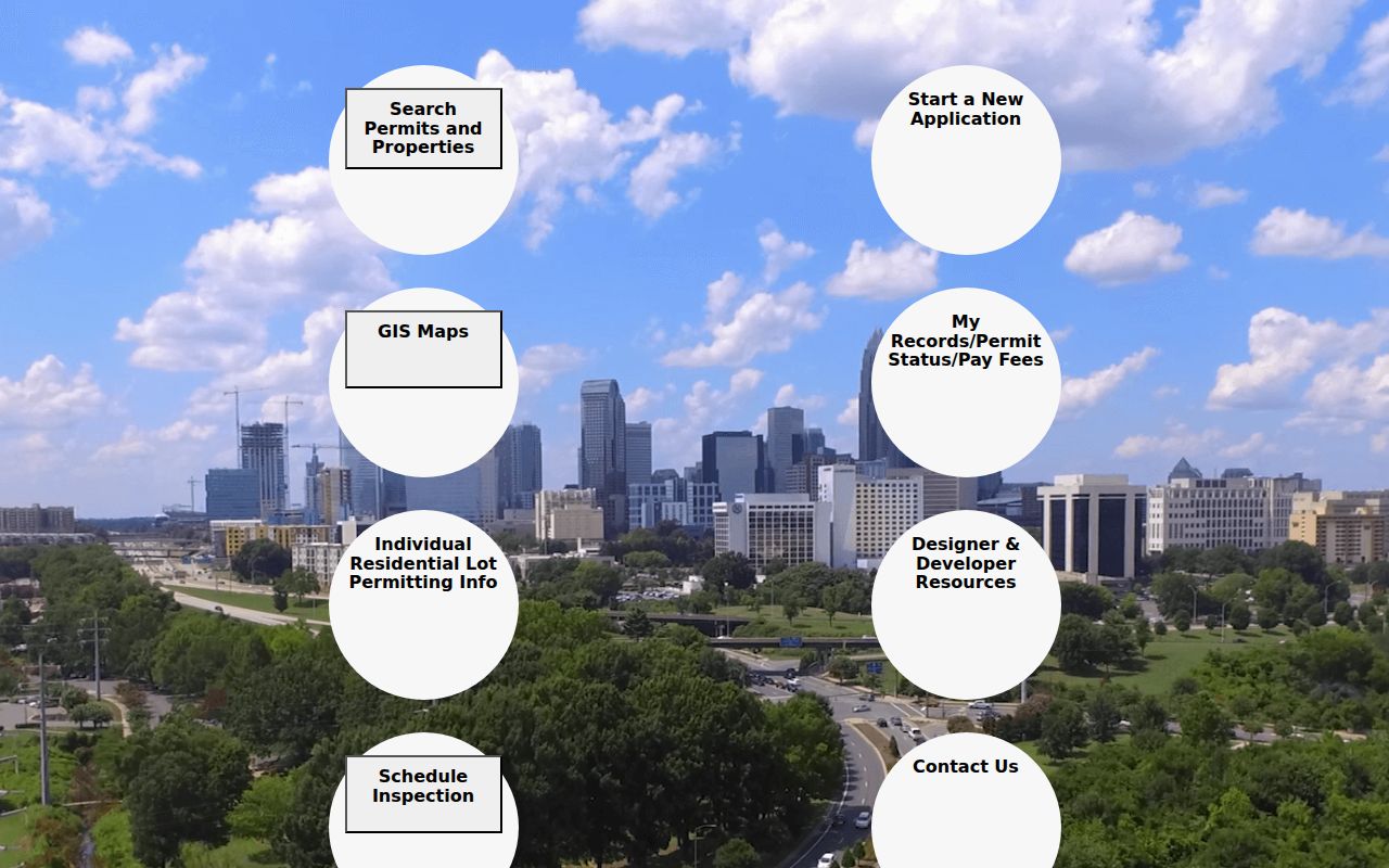
Accela broadens the search to project and plan details, but dynamic results and documents should be confirmed with the responsible city office.
For a missing record, make a narrow request under the North Carolina Public Records Act: ask for an existing instrument, parcel field, permit file, or date range. Chapter 132 allows inspection at reasonable times, but it does not require an agency to create a custom street-by-street resident compilation.
Mecklenburg Street Directory Road Names
Road-centerline data is valuable when a search fails because the street spelling, suffix, or number range has changed. Mecklenburg GIS records long and short road names, address ranges, ZIP, and jurisdiction. Address-management records add the house number, postal city, extra-territorial jurisdiction, fire district, and special-tax-district fields. Compare those individual values before deciding that a road name refers to the same place across a deed, permit, map, and directory.
For an older address, retain the historical spelling exactly as printed, then compare it with a plat, legal description, Sanborn intersection, and current USPS form. A similarity between old and new names is not enough by itself. Research did not locate a complete official historic street-number crosswalk for Mecklenburg, so an address conversion should identify whether it is documented or inferred.
Mecklenburg Street Directory Map Layers
Map layers answer different place questions. A Sanborn sheet can show the physical building context for a historical period. A current GIS parcel layer shows present parcel geometry and public overlays. A plat gives a recorded subdivision or lot reference, while USPS supplies a delivery standard. Historic-district, zoning, floodplain, and neighborhood layers add context, but none identifies a resident or proves a legal boundary on its own.
POLARIS offers more than 80 overlays, including schools, parks, voting geography, environmental restrictions, and stormwater context. Use a layer to explain why a property sits in a particular district or to locate a dated source. Preserve its map date and the county disclaimer. Recorded deeds and plats remain the proof point when the question concerns a boundary, legal title, or a prior street layout.
Note: A precise-looking boundary still needs the source and date that give it legal or historical meaning.
Mecklenburg Street Directory Requests
A focused request is more likely to reach the correct custodian. The Register of Deeds can be asked for an existing deed or plat using a grantor or grantee, approximate date, book and page, instrument number, legal description, or address. GIS can be asked for existing property-card fields by parcel ID. MeckPermit or Accela requests work best with an address, parcel, project number, and date range. Ask for electronic copies if available and request the office’s current fee or inspection route.
North Carolina Chapter 132 supports inspection of existing public records, subject to applicable exceptions, and does not require staff to create a new resident list or make an inference about who lived at a location. Exclude unnecessary protected data such as Social Security numbers, dates of birth, signatures, financial-account information, and protected addresses. If an office redirects the request, save the custodian, response, source URL, and any stated limit with the research record.
Limits of Mecklenburg Street Directory
A street directory cannot supply a verified roster for every home. GIS identifies geography and parcel context. The tax file can lag a recorded instrument, and its owner or mailing recipient may not live at the situs. A deed records a legal interest, not occupancy. A permit tracks a project. Voter geography describes election administration, not a block roster. Household members, protected addresses, and other confidential information should not be reconstructed from fragments of public data.
Use results for lawful personal research, family history, estate work, civic questions, or checking a source. State what each record actually says and preserve the date. If the appropriate official source has no result, record the source, search terms, and date rather than filling the gap with speculation.