
Mecklenburg ZIP Code Directory Coverage
County research identifies 31 residential ZIPs in the Mecklenburg County and county-region context. It is an orientation list from the official county health-assessment map, not a promise that every address using one of these codes is in the same municipality or delivery area. USPS By Address is the controlling check for a live address. The areas below are practical starting points from the research, and each one still needs address-level confirmation.
| ZIP | Mecklenburg-area orientation | Postal-city context | Check before relying on it |
|---|---|---|---|
| 28031 | Cornelius and Lake Norman south | Cornelius label is common | County, municipality, and parcel |
| 28036 | Davidson and northern county | Davidson-area context | Municipal edge and USPS route |
| 28078 | Huntersville and northern Mecklenburg | Huntersville context | Exact delivery route |
| 28104, 28105 | Matthews and southeast county | Matthews-area context | Municipal jurisdiction |
| 28107 | Mint Hill and east-southeast edge | Mint Hill-area context | Union and Mecklenburg edge |
| 28134 | Pineville and south county | Pineville-area context | Parcel municipality |
| 28202, 28203, 28204 | Uptown, Dilworth/South End, Elizabeth edge | Charlotte context | Neighborhood versus postal line |
| 28205, 28206, 28208 | Plaza Midwood/NoDa, North Charlotte, west corridor | Charlotte context | Current USPS assignment |
| 28213, 28223, 28262 | University and northeast area | Charlotte-area context | Institutional use or county edge |
| 28215, 28227, 28269 | East/northeast, Mint Hill vicinity, northern edge | Charlotte-area context | Cross-county or town context |
| 28270, 28273, 28277, 28278 | Southeast, Steele Creek, Ballantyne, southwest edge | Charlotte-area context | Municipality and postal route |
Other mapped residential codes include 28120, 28209, 28210, 28211, 28212, 28214, 28216, 28217, 28226, and 28270. The health-assessment source also lists 28269, 28262, 28223, and 28213 in its county-region view. The table groups some related codes for readability rather than claiming a single post office serves each group.
Use the USPS ZIP Code Lookup for a current address-level result.
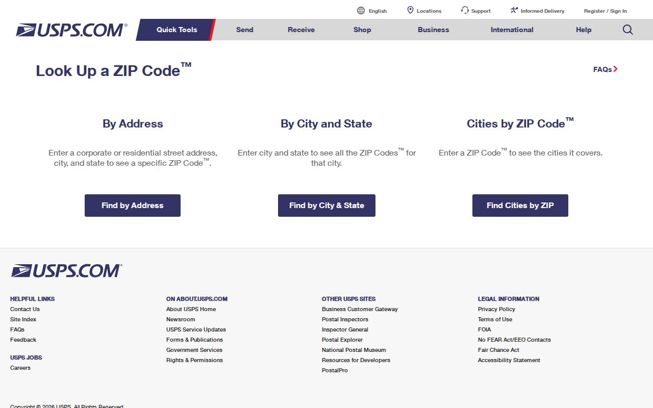
USPS offers By Address, By City and State, and Cities by ZIP modes. Its own warning is important: a ZIP result does not confirm that a person or company is at an address.
Mecklenburg ZIP Code Geography
A ZIP code is postal geography, not a legal boundary. Mecklenburg County includes Charlotte and six incorporated municipalities: Cornelius, Davidson, Huntersville, Matthews, Mint Hill, and Pineville. A Charlotte mailing label can occur outside the City of Charlotte. Likewise, a municipal or county field can differ from the delivery city. Treat postal city, parcel municipality, county, ZIP, fire district, extra-territorial jurisdiction, precinct, and neighborhood boundary as distinct facts.
The county’s ZIP polygon metadata describes a Mecklenburg coverage layer published March 31, 1999 and updated August 8, 2023. It is a useful dated visual layer for a research file, but it should not override a current USPS address check. When the geographic question matters, preserve the lookup result, exact address, county or municipality field, map-layer date, and any warning that a code crosses a county line.
Consult the Mecklenburg ZIP polygon metadata when a dated county map layer is useful.
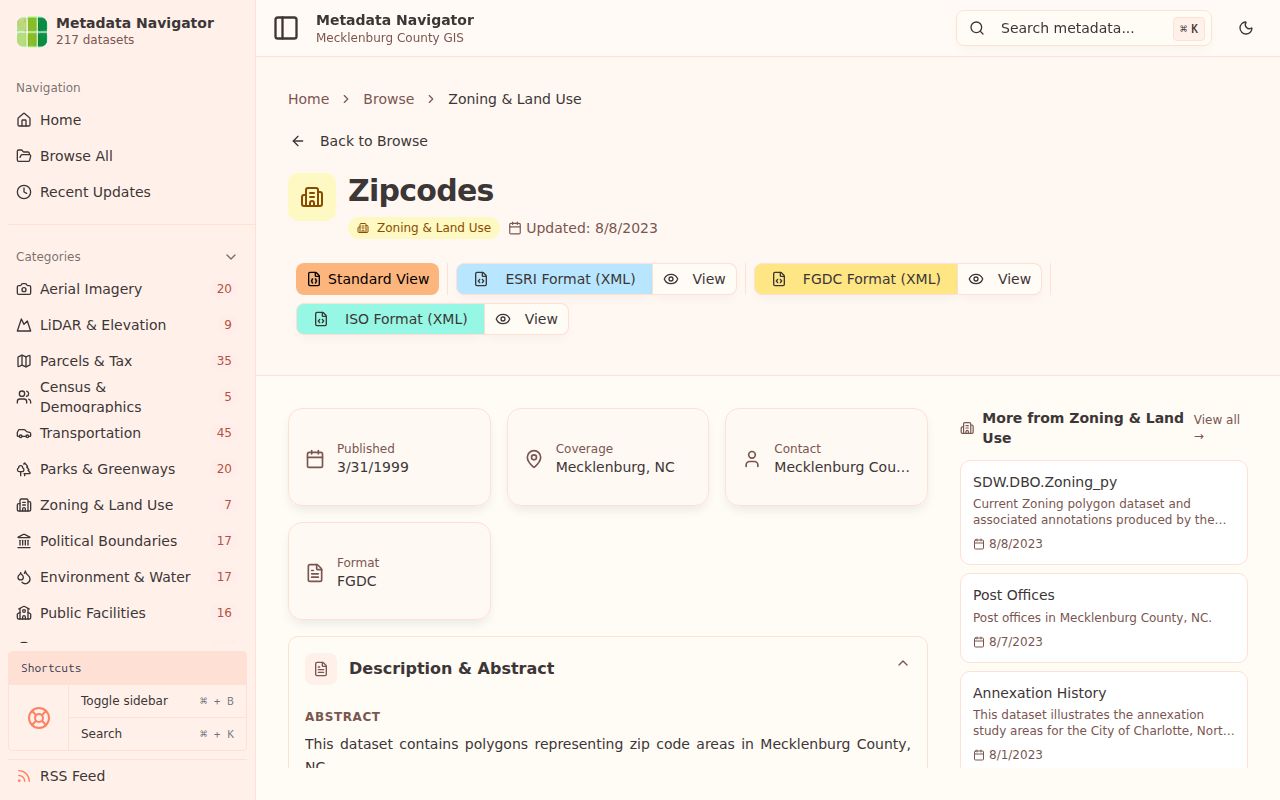
The metadata records the layer’s date and scope, which is why it belongs beside, not ahead of, a current USPS delivery result.
Mecklenburg ZIP Code Directory Search Fields
Use the postal lookup mode that fits the starting fact. By Address is strongest when the full street and unit are known. By City and State is a broad postal query, while Cities by ZIP returns a city label associated with a code. It should not be used as a resident list. For delivery-type questions, USPS Address Information System resources identify more specialized classifications, including street, rural, PO box, general, unique, military, and non-active routes.
| Official lookup mode | Visible input | What it can check | Limit |
|---|---|---|---|
| USPS By Address | Company, street, apartment or suite, city, state, ZIP | Standardized postal address and ZIP | Does not confirm a person or company |
| USPS By City and State | City and state | Postal lookup starting point | Not a parcel or jurisdiction result |
| USPS Cities by ZIP | ZIP | Postal city label | Not proof of municipal location |
| USPS AIS | City/state, county, delivery statistics, ZIP+4, address lookup | Postal classification and delivery-type context | Products and access vary by route |
Review the USPS AIS Viewer for the available postal-data product categories.
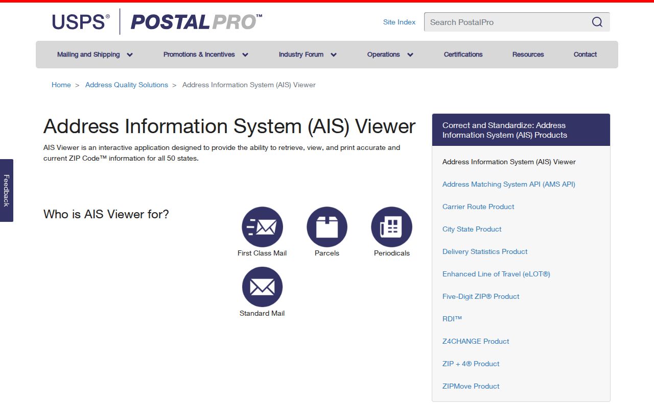
AIS distinguishes postal delivery classifications that a county polygon cannot reliably supply. Do not call a code residential, PO-box-only, unique, or administrative unless a current USPS source identifies that function.
- ZIP and ZIP+4
- A ZIP identifies a broad postal delivery area. ZIP+4 adds a more specific delivery segment and should be checked from the complete address.
- PO-box ZIP
- A postal code used for post-office boxes. It does not automatically describe nearby street addresses.
- Unique ZIP
- A code associated with a single institution or delivery arrangement. Verify its current USPS use before assigning it a neighborhood.
- Carrier route
- A postal delivery grouping. It helps describe delivery operations, not city or county jurisdiction.
Find Residents by Mecklenburg ZIP
A ZIP can organize a place-based search, but it cannot provide a reliable roster of people. First validate the specific address through USPS. Next use POLARIS or County GIS to locate the parcel, situs, municipality, and related map layers. Then use the source that matches the question: the Register of Deeds for a recorded instrument, an official directory collection for a dated address listing, or the Board of Elections for a specific voter-record question. The correct source changes with the date and claim.
- Use USPS By Address and save the standardized street, unit, city, state, ZIP, and result date.
- Search the address in POLARIS to capture the parcel ID, situs, postal address, municipality, and relevant map context.
- Check the parcel’s deed or plat route only when recorded ownership or legal description is needed. Do not equate an owner or mailing recipient with an occupant.
- For election administration, use the official Mecklenburg or state election route for a specific person and year. A ZIP is not a precinct and is not a voter roster.
- When a street is narrowed, move to the Mecklenburg by-street directory for the address-first record trail.
The Mecklenburg Board of Elections provides the county election route and related resources.
Election geography should be preserved with its year and district version. It is administrative geography, not a claim that every address in a ZIP belongs to the same precinct or district.
Note: Preserve the exact query, USPS result, county or municipal field, GIS-layer date, and cross-county warning with any ZIP-based research note.
Mecklenburg ZIP Code Directory Updates
Postal labels change independently from county map updates. USPS Postal Bulletin material in the research identifies the Charlotte Westside SDC at 2901 Scott Futrell Drive, Charlotte, NC 28228, serving 28208, 28214, 28217, and 28219 effective October 18, 2025. This is a processing and delivery-context lead, not a complete residential list. It does not mean that all four codes share one neighborhood, city boundary, or parcel pattern.
Many codes appearing in official postal or tax material beyond the residential map may be PO box, unique, institutional, administrative, processing, or other postal codes. Research specifically flags 28219, 28220, 28221, 28222, 28224, 28228 through 28230, 28231 through 28237, 28244, 28246, 28247, 28253 through 28256, 28263, 28265 through 28266, 28271, 28274, 28280 through 28282, 28284 through 28285, 28287 through 28288, 28290, 28296 through 28297, and 28299 for verification before any functional label is assigned.
The research did not expose a downloadable, complete current Mecklenburg ZIP and post-office list from the dynamic USPS tools. That gap should remain visible: verify postal-office coverage through USPS lookup or AIS before publishing a current list or placing an address in a delivery category.
Mecklenburg ZIP Code Directory Maps
County GIS adds the layers that USPS does not: parcel location, jurisdiction, road centerlines, school and voting geography, historic districts, floodplain, zoning, and related public map context. GIS is particularly helpful after USPS has normalized an address. Its land-record fields can distinguish the physical situs from a mailing address. The county warns that map data is not legal evidence, so recorded deeds and plats remain the check for legal boundaries and title questions.
Start with the Mecklenburg County GIS landing page for POLARIS, GeoPortal, address management, land records, and correction contacts.
The county GIS routes make it possible to compare postal, parcel, and public-map context without turning any one of those layers into a residency conclusion.
Mecklenburg ZIP Code Directory Overlays
ZIP geography should not be merged with election or neighborhood geography. POLARIS and related GIS layers can show voting districts and precinct context, while the Board of Elections remains the authoritative route for a voter record or polling-place question. District lines can change with an election year, so preserve the relevant year and district version. A ZIP code does not establish that every address uses the same precinct, representative, or election administration.
Charlotte’s Neighborhood Organization Directory provides a different civic layer. Its entries can include an organization name, public contact, self-defined boundary, website, social links, and city-council-district filter. Those self-described boundaries are helpful for local context, but they should not be converted into postal, parcel, voting, or membership boundaries.
Note: Save the ZIP result and map-layer date separately from an election district or neighborhood organization result.
ZIP Code Limits Around Mecklenburg
ZIP code boundaries and city limits are different systems. A code can cross Mecklenburg County, Cabarrus County, Union County, or municipal edges, and a Charlotte label does not settle the jurisdiction. Neighborhood organization boundaries add another layer because they are self-defined. The county health map and ZIP polygons are useful research context, but they are not current USPS guarantees and they do not replace parcel or recorded-boundary research.
Use ZIP information for address standardization, postal geography, county or town cross-checks, and locating the appropriate records route. Do not use it to infer a person’s residence, household, membership in a neighborhood group, or relationship to nearby addresses. If a source does not return a result, preserve that limited no-hit rather than inventing a boundary or personal connection.